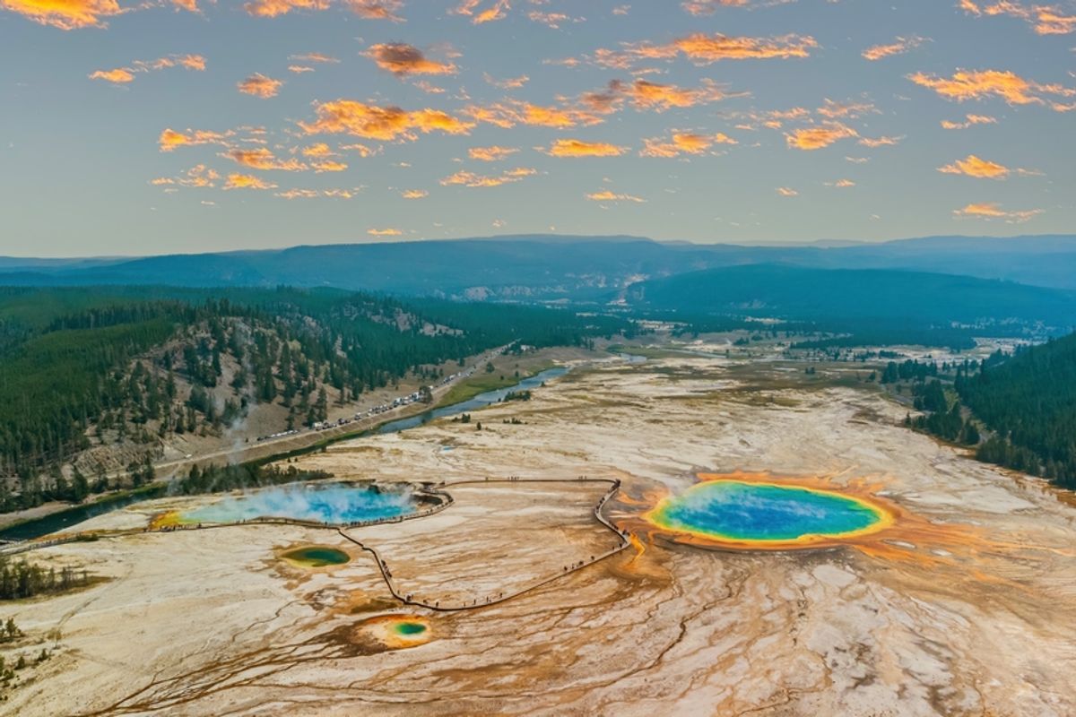
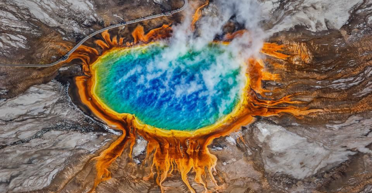
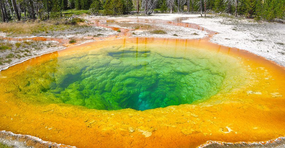
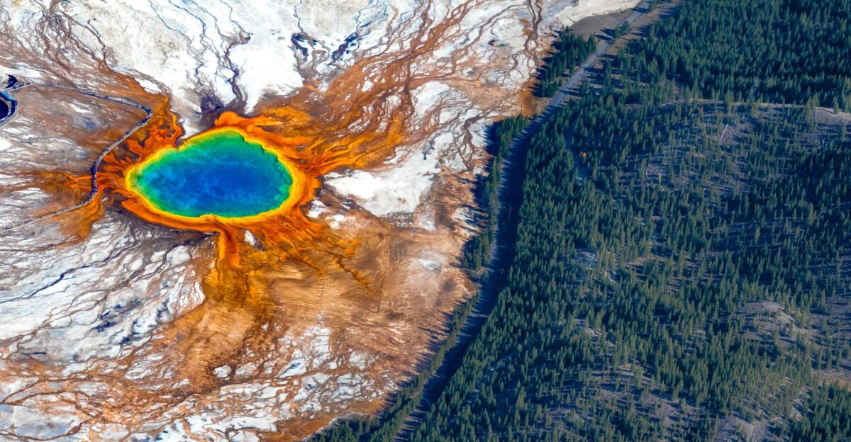
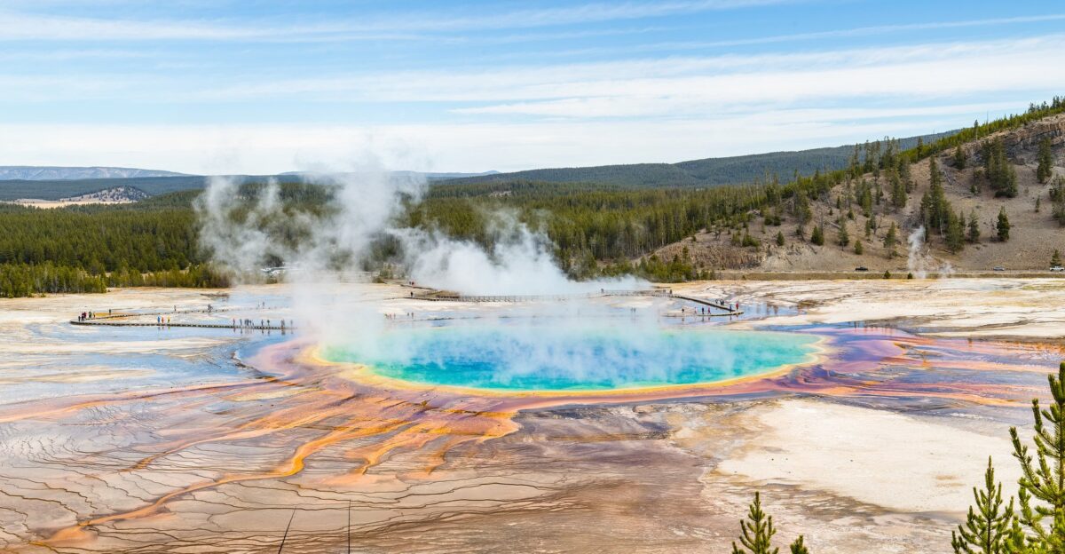
Yellowstone National Park sits atop one of Earth’s most extraordinary geothermal systems—a place where the ground literally reshapes itself. For decades, the U.S. Geological Survey has tracked subtle movements invisible to visitors: the inflation and deflation of the earth beneath geysers, hot springs, and meadows.
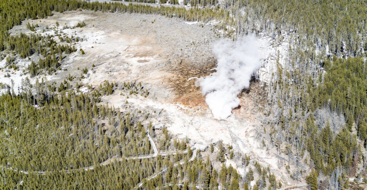
Now, after nearly two decades of relative quiet, a specific area south of Norris Geyser Basin has begun to rise again. Scientists have noticed. Monitors are recording the change.
And the question everyone asks first is the same one USGS researchers are trained to answer with precision: What does it mean?
The Norris Uplift Anomaly Explained
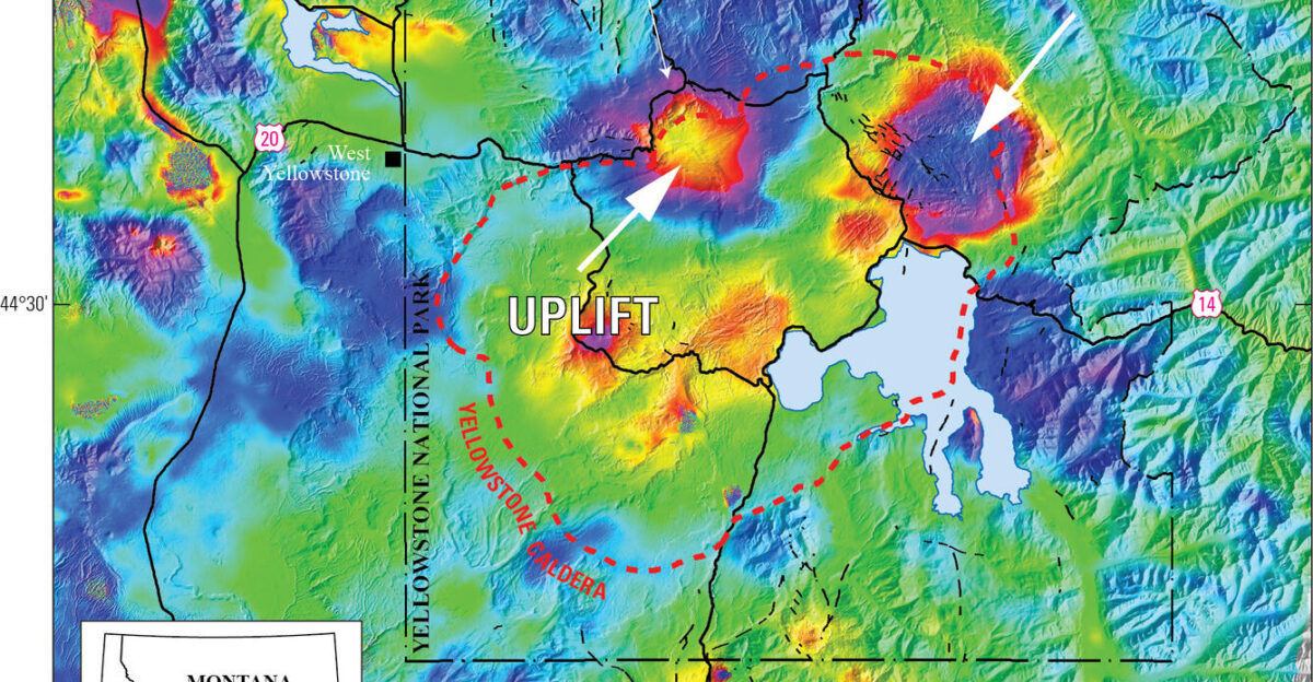
The “Norris Uplift Anomaly” (NUA) is a roughly 18-mile-long zone on Yellowstone’s north caldera rim that has a documented history of moving. Between 1996 and 2004, this area expanded upward by approximately 12 centimeters—a significant but gradual deformation. Then it quieted.
For two decades, GPS stations mounted on the ground recorded minimal change. That stability ended in July 2025.
Instruments began detecting renewed uplift, slower than the 1996–2004 episode but unmistakable. The deformation is real, measured, and replicated across multiple independent monitoring systems.
How Scientists Measure Invisible Motion
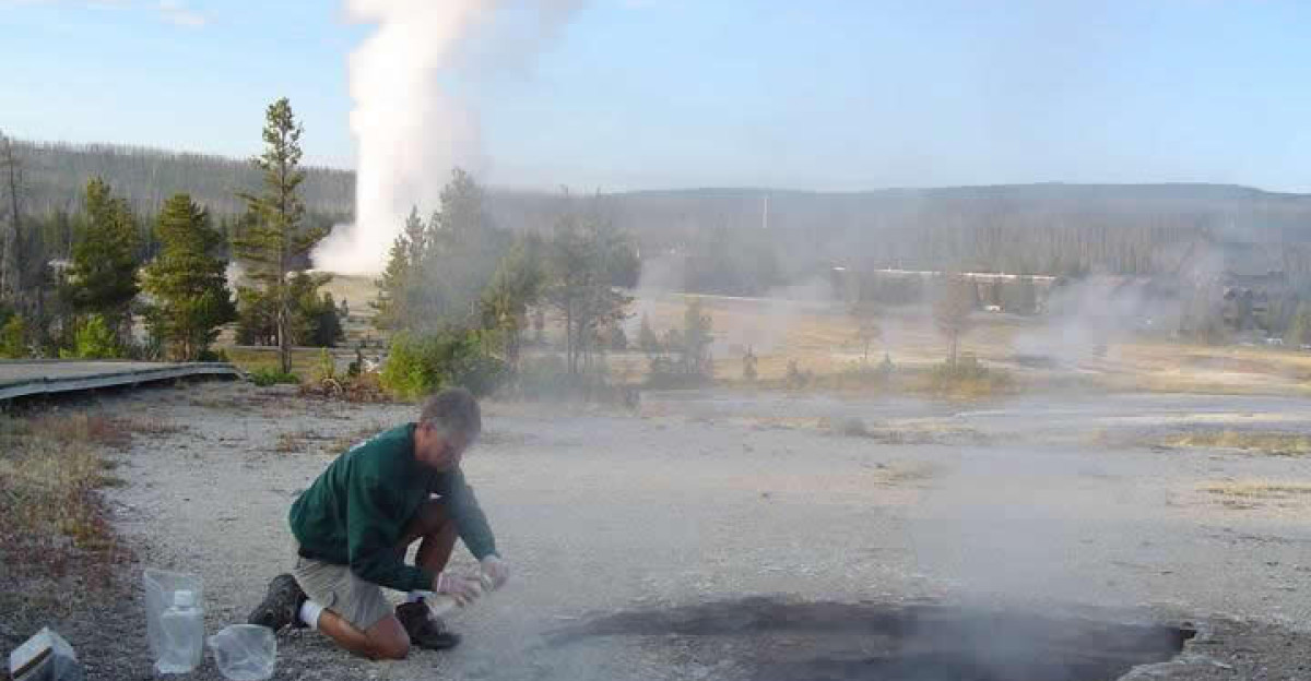
USGS researchers use three primary tools to detect ground deformation at Yellowstone. GPS stations with millimeter-level precision track distances between fixed points. InSAR—Interferometric Synthetic Aperture Radar from satellites—measures surface shape changes across large areas by comparing radar reflections weeks or months apart.
Seismometers record earthquakes and tremors that sometimes accompany deformation. In the current NUA episode, GPS baselines have lengthened by approximately 1.5 centimeters since July 2025.
InSAR data from October 2024 through October 2025 confirms the pattern, and seismic sensors have documented an uptick in small earthquakes between September and December 2025.
A Pattern from History Repeating
The 1996–2004 NUA episode was not followed by an eruption. Instead, the ground uplifted gradually, the magmatic or hydrothermal system shifted, seismic activity fluctuated, and eventually the area subsided.
It returned to a new baseline. Scientists study such cycles to understand how Yellowstone’s plumbing works: magma and hot fluids below ground push upward, expand the crust, then retreat or cool.
The 2025 uplift mirrors that historical behavior—same location, similar magnitude so far, comparable seismic signature. Understanding past patterns helps scientists assess what may come next.
The Alert Level Remains Green
Here is the core fact many headlines obscure: USGS has assigned Yellowstone an alert level of Normal and an Aviation Color Code of Green. These are the lowest classifications in the U.S. volcano monitoring system. No imminent eruption is expected.
Officials explicitly state that the current deformation and seismicity are within the range of normal, background activity at an active caldera system.
This is not a sign of escalating risk. It is a sign of an active geothermal system behaving as it has for thousands of years: constantly changing, constantly adjusting.
Why This Matters for 4 Million Annual Visitors
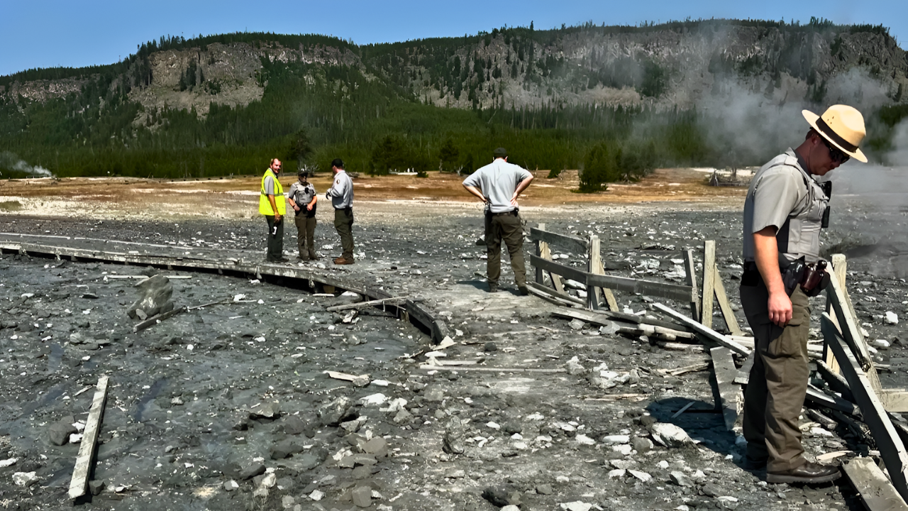
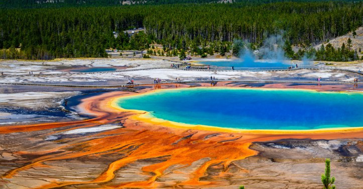
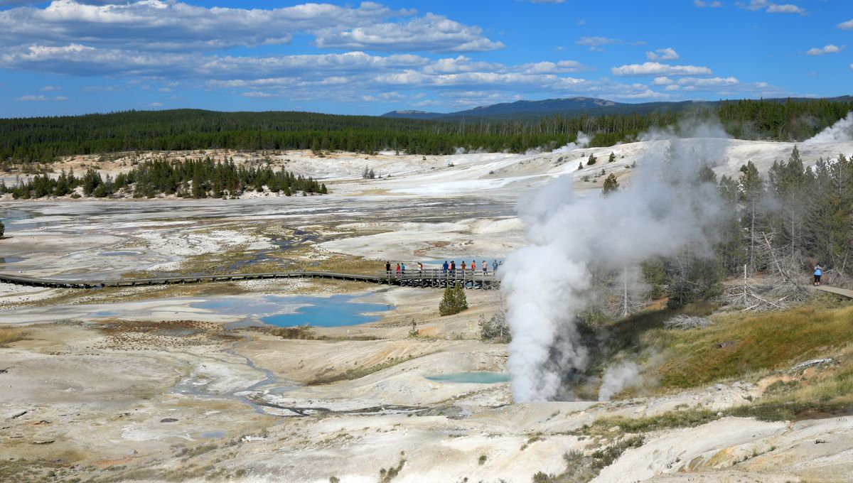
Yellowstone National Park hosts approximately 4 million visitors per year. The uplift zone is located south of Norris Geyser Basin, one of the park’s most popular thermal areas. The vast majority of visitors pose no physical risk from the deformation itself—ground uplift is slow and poses no direct danger to people.
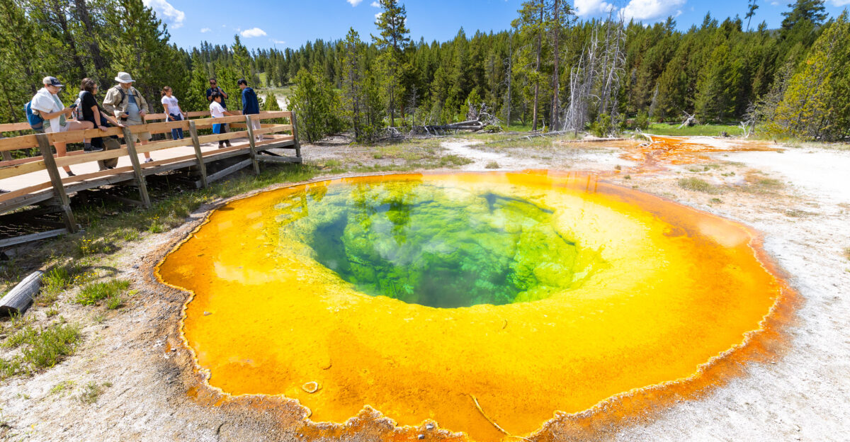
However, the presence of geothermal features means certain areas are inherently hazardous: boiling hot springs, fragile thermal features, and ground that can collapse.
USGS monitoring ensures that any changes to these hazards are detected and communicated to park management and the public quickly.
What Deformation Reveals About Subsurface Conditions
Deformation at Yellowstone is not random. It reflects real physical changes happening kilometers below the surface. When the ground rises, researchers interpret it as indicating magma or hot pressurized fluid accumulating or migrating in the crust.
When it subsides, it suggests the material has cooled, crystallized, or drained. By analyzing the pattern, location, and magnitude of deformation, plus correlating it with seismic data and geochemical samples, scientists build a three-dimensional model of what’s occurring beneath.
The NUA deformation pattern suggests activity at depths of roughly 10–15 kilometers—deep in Yellowstone’s magmatic plumbing.
Seismic Activity and Its Significance
Between September and December 2025, scientists recorded an increase in small earthquakes in the NUA zone compared to background rates. These earthquakes ranged from magnitudes 1 to 3—too small for visitors to feel, but significant in volcanological terms.
Earthquakes at active calderas often accompany deformation. Magma or fluids moving through cracks generate stress that ruptures rock. However, thousands of small earthquakes occur at Yellowstone annually.
The recent uptick is noteworthy for tracking but does not, by itself, indicate a shift toward eruption. USGS interprets it alongside deformation and other data.
The Broader Yellowstone System: A Living Laboratory
Yellowstone caldera is the core of a vast volcanic region. The caldera itself last erupted roughly 640,000 years ago, ejecting massive quantities of magma and ash that shaped the region’s geology. Volcanic eruptions are inevitable at Yellowstone—given enough time, the geologic record guarantees them.
However, “inevitable” operates on timescales of tens of thousands to hundreds of thousands of years. The current monitoring system exists precisely because uncertainty exists about the timing and nature of future activity.
USGS and partnering agencies operate Yellowstone Volcano Observatory to bridge that uncertainty with continuous observation.
The Real Story: Why We Monitor Active Volcanoes
The headline captures attention by evoking eruption risk, but the real story is subtler and more fascinating: Yellowstone is an extraordinarily active geothermal and volcanic system, and USGS has built a sophisticated monitoring network that can detect changes invisible to human senses.
The NUA uplift is not a warning alarm. It is data—a piece of information about how the system operates. Understanding recurring deformation patterns, seismic signatures, and fluid behavior beneath calderas advances volcano science globally.
Yellowstone’s monitoring system has influenced how scientists approach volcanic hazard assessment worldwide.
Comparing Yellowstone to Other Active U.S. Volcanoes
Yellowstone is not the only active U.S. volcano under scrutiny. Mount Rainier in Washington, Kilauea in Hawaii, and several Alaskan volcanic systems host continuous monitoring. Each system exhibits its own patterns of deformation, seismicity, and gas emissions.
Kilauea erupted repeatedly in recent years; Rainier has not erupted in 500 years but remains classified as potentially hazardous. The variation underscores a key principle: monitoring is not prediction.
USGS cannot forecast eruptions with days or weeks of certainty. Instead, researchers detect changes and assign alert levels that reflect genuine hazard escalation—something not present at Yellowstone now.
Technology Advances Expand What Scientists Can See

Over the past two decades, volcano monitoring has transformed. GPS networks have become denser and more precise. Satellite radar (InSAR) now provides centimeter-scale measurements across huge areas. Gas sensors detect subtle changes in hydrothermal emissions.
Real-time data flows to scientific centers where algorithms flag anomalies automatically. The current NUA uplift would have been harder to detect 30 years ago.
Modern technology reveals changes that previous generations might have missed. This technological advantage means USGS can now track Yellowstone’s behavior with greater granularity—and transparency.
Public Communication: Balancing Accuracy and Accessibility
USGS faces a communication challenge: conveying accurate scientific information to a public shaped by dramatic media narratives. Phrases like “the ground is rising” or “pattern preceding eruption” are technically defensible but easily misinterpreted as imminent threat signals.
To counter confusion, USGS has been explicit: current activity is normal. The alert level is Green. No eruption is expected.
Scientists have learned through experience that repeating this message in clear language, and backing it with accessible data, reduces public anxiety while maintaining vigilance. The agency publishes detailed monitoring data and updates regularly so anyone can verify claims.
Long-Term Monitoring: A Commitment That Spans Generations
USGS operates Yellowstone Volcano Observatory as a long-term commitment, not a crisis response. The observatory has roots dating to the 1970s, with modern instrumentation deployed over decades. Scientists rotate through the program, but the monitoring network persists continuously.
This multi-generational approach is essential because volcanic systems operate on timescales humans struggle to grasp. A deformation episode lasting 10 years is routine to a caldera.
Volcanic eruptions may be separated by millennia. Only sustained, long-term monitoring can reveal the true baseline and recognize genuine anomalies.
What Comes Next: Science Continues
The NUA uplift will be watched closely through 2026 and beyond. If it continues, USGS will expand monitoring and may adjust alert levels. If it slows or reverses, researchers will document the subsidence pattern and incorporate it into models of how Yellowstone responds to subsurface stress changes.
Either way, the data feeds a global understanding of calderas. Yellowstone remains a natural laboratory where geologists decode how magmatic systems behave. For visitors and surrounding communities, the message is clear: scientists are watching.
The system is understood well enough to detect genuine hazards early. And today, January 2026, that system reports normal activity—not a prelude to eruption, but a reminder that Earth itself is always in motion.
Sources:
USGS Yellowstone Volcano Observatory, “It’s baaaaaack… The Norris Uplift Anomaly,” January 12, 2026
USGS Yellowstone Volcano Observatory, “Uplift along the north rim of Yellowstone Caldera,” January 8, 2026
USGS Yellowstone Volcano Observatory 2023 Annual Report
USGS National Volcano Disaster Assistance Program technical publications
National Park Service Yellowstone visitation statistics
USGS Volcano Hazard Program monitoring protocols and alert level definitions