
At 8:11 a.m. on Thanksgiving morning, a magnitude 6.0 earthquake shook approximately 300,000 Anchorage residents from their beds as they prepared for one of America’s most significant family gatherings. The epicenter, located 12 kilometers west-northwest of Susitna at a depth of 69 kilometers, delivered a powerful reminder that Alaska sits atop one of Earth’s most geologically active regions. What could have been catastrophic instead became a seismic alarm clock—violent enough to disrupt holiday preparations, yet deep enough to spare the city from structural devastation.
A Stroke of Geological Fortune
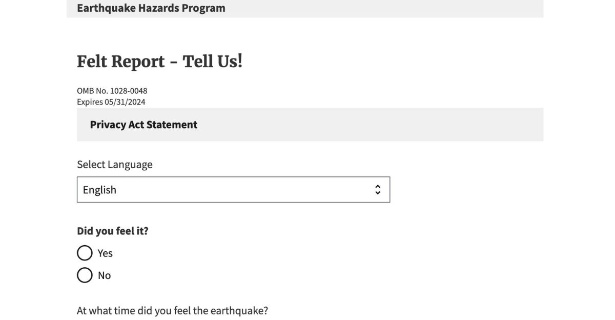
Early Wednesday morning revealed an outcome that defied worst-case scenarios. Despite the violent jolt felt across Cook Inlet, Homer, and as far north as Fairbanks—350 miles away—no significant structural damage materialized. No collapsed buildings. No power outages. No critical infrastructure failures. The USGS confirmed that 6,827 residents reported the event through their “Did You Feel It?” system, transforming citizen observations into valuable seismic data that created a real-time intensity map of the quake’s effects.
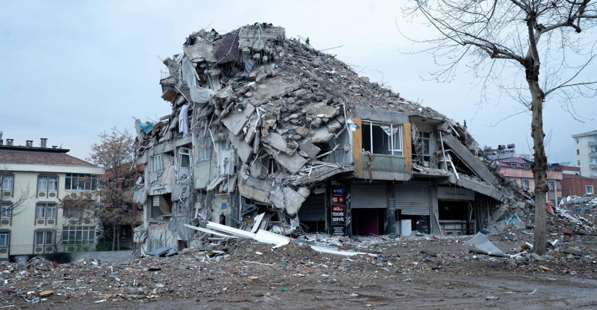
The depth proved decisive. At 69 kilometers below the surface, this earthquake dissipated its violent energy across enormous distances before reaching human infrastructure. A magnitude 6.0 quake at just 10 kilometers depth would have created an entirely different disaster scenario—shattered glass, toppled chimneys, and widespread structural damage. Alaska’s seismic experts confirmed this event occurred within the subducting Pacific Plate as it creeps deeper into Earth’s mantle, a relatively common occurrence here that typically delivers less surface destruction than shallower crustal earthquakes.
Resilience Meets Dark Humor
Alaskans responded to the chaos with characteristic dark humor and resilience. Within hours, the #Shakesgiving trend circulated across social platforms as residents shared videos of spilled gravy, toppled holiday dishes, and premature wake-up calls. The collective response revealed something fundamental about Alaska’s character: when geological disruption arrives, laughter arrives alongside it. Interrupted breakfast preparations became comedy gold as families returned to their tables and resumed celebrations.
Weeks of Aftershocks Ahead
The USGS issued a sobering forecast that tempered relief with cautious concern. Scientists predicted a 28 percent chance of magnitude five or greater aftershocks within one week—earthquakes significant enough to damage buildings and rattle residents again. More concerning, a 97 percent probability of magnitude three or larger aftershocks would likely persist for weeks. For Anchorage residents, the morning’s violence represented just the opening act of an extended seismic sequence.
Some residents wondered whether this quake connected to the catastrophic 7.1 magnitude earthquake that struck Anchorage on November 30, 2018—nearly the same calendar date seven years later. Alaska’s seismologists delivered reassurance: No. The Susitna event fell geographically and mechanically outside the 2018 aftershock zone, resulting from lateral slip within the subducting Pacific Plate rather than the thrusting motion that characterized the earlier quake.
Alaska’s Seismic Reality
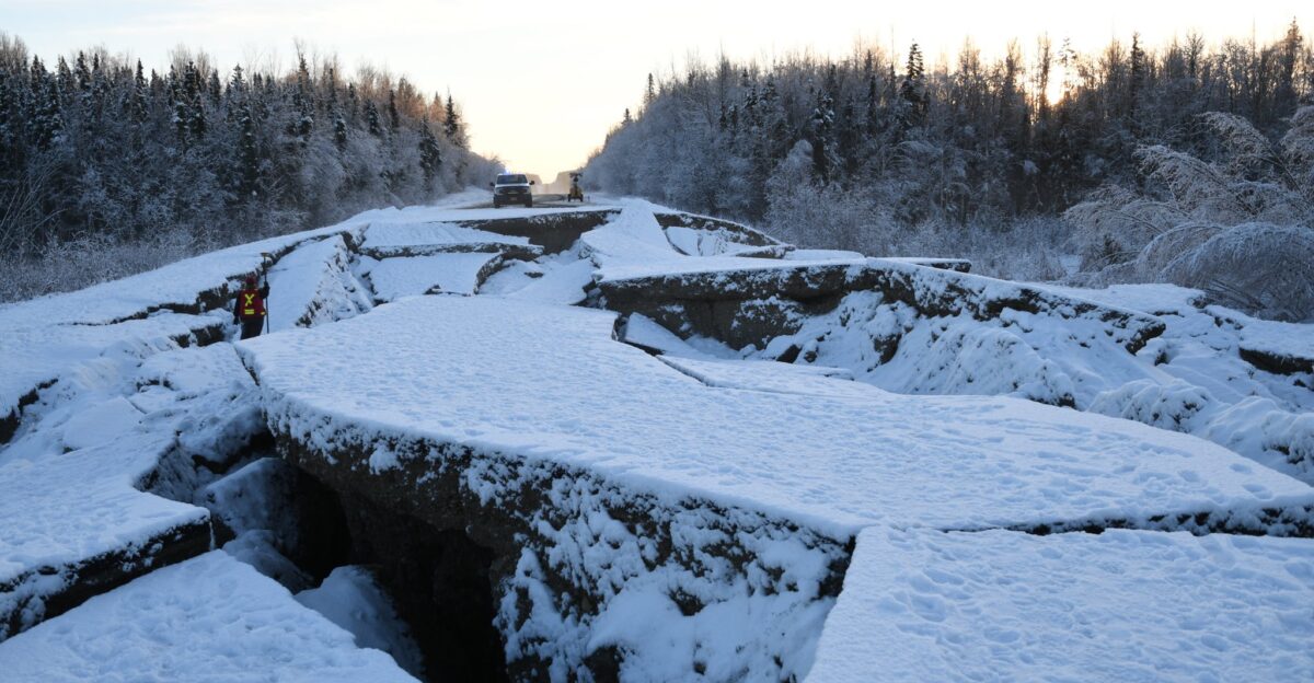
The magnitude 6.0 earthquake reset the seismic baseline in south-central Alaska. The last comparable event—a 6.1 magnitude quake—struck near Chickaloon on May 31, 2021, roughly 100 miles northeast of Anchorage. Four years of relative quiet had lulled residents into complacency. This quake shattered that illusion.
Few Americans comprehend a geological truth that Alaskans live with daily: this state experiences more earthquakes than the other 49 combined. Alaska straddles a collision zone of planetary proportions where the Pacific Plate slides beneath the North American Plate, generating seismic energy continuously. Alaska averages approximately one magnitude seven earthquake per year and sits directly within the Pacific Ring of Fire—a horseshoe-shaped zone of intense tectonic activity that produces roughly 80 percent of Earth’s earthquakes.
The region holds a distinction of rare geological significance: three of the twelve largest earthquakes ever recorded globally occurred in Alaska. On March 27, 1964, the Good Friday Earthquake struck Prince William Sound—a magnitude 9.2 cataclysm ranking as the second-largest earthquake ever recorded. That catastrophe killed 131 people and generated devastating tsunami waves that crossed the Pacific. Alaska experiences a magnitude 8 earthquake approximately once every 13 to 14 years, meaning residents will witness at least five great earthquakes capable of reshaping landscapes within a typical human lifetime.
Life Continues
The 69-kilometer depth spared Alaska’s vulnerable coastline from a secondary catastrophe. The U.S. Tsunami Warning Center determined that the quake’s deep origin, location away from major offshore fault zones, and rupture characteristics all suggested minimal water displacement. No sudden seafloor rupture. No catastrophic wave generation.
Thanksgiving dinners resumed. Families returned to tables. Conversations continued. Because here’s what defines Alaska: life doesn’t pause for geological chaos. After an earthquake reshakes the morning, Alaskans laugh, share meals, celebrate holidays, and live fully anyway. They embrace uncertainty because they possess no alternative. They dwell at the edge of seismic catastrophe on a planet that refuses to stay still.
Sources
U.S. Geological Survey (USGS) Earthquake Hazards Program
Alaska Earthquake Center
National Tsunami Warning Center (NOAA)
U.S. Geological Survey – Earthquake History & Statistics
Alaska Department of Homeland Security & Emergency Management / Ready Alaska