At 2 a.m. on July 8, 2025, instruments across Washington State picked up an unusual signal from Mount Rainier. Over the following weeks, the volcano generated 10,834 small earthquakes, the largest seismic swarm ever recorded there, yet almost no one outside the scientific community felt a thing. For the roughly 200,000 people living and working in the surrounding valleys, the episode underscored an unsettling reality: a heavily populated region depends on the stability of a glacier-clad volcano that will erupt again.
The Silent Swarm Beneath Mount Rainier
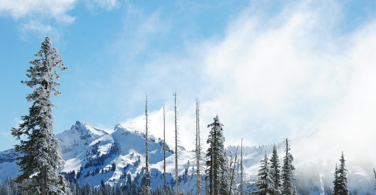
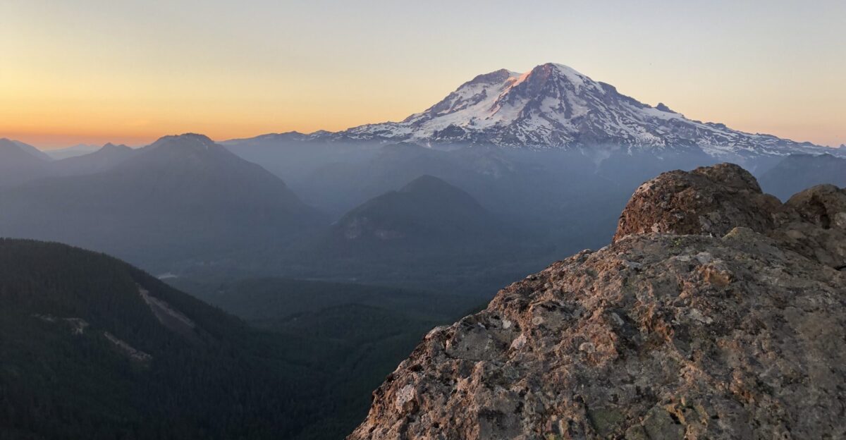
A snow-covered peak 14,410 feet high, Mount Rainier stands just 50 miles from the Seattle-Tacoma urban corridor. It is the most ice-loaded volcano in the Cascades, holding more glacial mass than all its regional counterparts combined. That ice is central to the hazard. When hot rock or lava interacts with thick glacier cover, it can rapidly melt and mix with rock and soil, generating lahars—fast-moving torrents of mud, boulders, and debris that follow river valleys for dozens of miles
Lahars: The Hidden Threat Below the Snow
Lahars are the primary concern for communities downstream. If Rainier erupts, modeling shows that major flows are most likely to surge into at least four river systems at once: the Puyallup, Carbon, Nisqually, and Duwamish valleys. Pierce County estimates that around 200,000 residents and workers occupy these lahar-prone corridors, many in low-lying towns and industrial areas. In Orting, a town in the Puyallup Valley about 45 miles from the summit, emergency planners estimate that a large lahar could arrive in roughly 30 minutes, burying structures under tens of feet of debris.
In such a scenario, the available time for action is measured in minutes, not hours. Officials emphasize that people in at-risk areas cannot rely on cars, traffic signals, or last-minute reversals of course. Instead, survival depends on knowing routes in advance, moving quickly on foot, and heading decisively toward high ground. The region’s planning documents stress that there is no technological fix that can stop or divert a lahar; the only realistic defense is rapid self-evacuation.
Preparing for the Unthinkable
Local and federal agencies have spent decades preparing for that possibility. Along Rainier’s valleys, networks of sensors are designed to detect ground vibrations and sudden changes associated with large flows. When triggered, they set off sirens and other mass-notification systems intended to give people at least a short warning to move uphill. Schools and workplaces in towns such as Orting conduct regular evacuation drills that send students and staff along marked routes to elevated assembly points. The simple message is repeated frequently: move “uphill and away” and do not wait for confirmation once an alarm sounds.
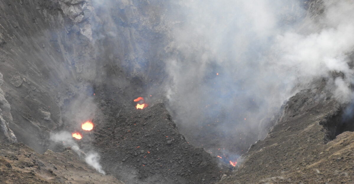
Despite the intensity of the July 2025 swarm, scientists with the U.S. Geological Survey (USGS) did not see signs that magma was pushing toward the surface. Of the 10,834 earthquakes, they were able to locate about 1,350 individual events precisely; the remainder were too small and numerous to pinpoint but appeared consistent with disturbances in the volcano’s hydrothermal system. During the same period, instruments did not record unusual ground swelling or spikes in volcanic gases that would indicate magma rising. As a result, Rainier’s alert status stayed at its lowest level, GREEN or NORMAL, throughout the unrest.
Even without immediate signs of an impending eruption, the episode drew attention to Rainier’s long-term pattern. The volcano last produced a significant eruption around 1480 CE. Geological evidence suggests that it tends to erupt on timescales of roughly 300 to 400 years. That range is not a precise schedule, but it implies that a new eruptive period is likely in the future, whether in coming decades or later. Each swarm of earthquakes, each subtle shift in gas or ground deformation, becomes another data point in understanding how close the mountain may be to its next major change.
Around-the-clock monitoring is designed to detect that change early. Seismometers track earthquakes, GPS instruments measure ground tilt and inflation, and gas sensors sample emissions from vents and springs. When these indicators shift in a sustained, coherent pattern—such as a marked increase in quakes, measurable ground swelling, and changing gas ratios—authorities can raise alert levels from GREEN through YELLOW and ORANGE as activity escalates. For those in lahar zones, any move upward in alert status would be a signal to review evacuation plans, confirm meeting points, and stay attentive to official instructions.
A Tale of Two Volcanoes: Rainier and Axial Seamount
Orting illustrates both the progress and the limits of preparedness. The town lies squarely in the expected path of a large lahar along the Puyallup River, and residents are acutely aware that they live on a geologic corridor shaped by past flows. Public agencies have installed sirens, posted evacuation maps, and organized community drills that send entire schools walking to ridges above town. Yet officials and residents also recognize that a real event would leave virtually no margin for delay or confusion. The gap between the first alarm and the arrival of debris would be so small that hesitation could decide outcomes.
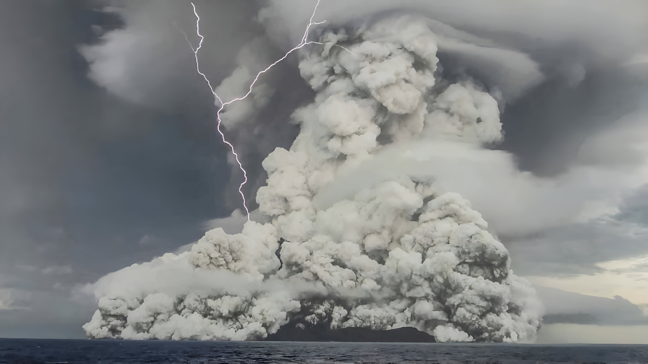
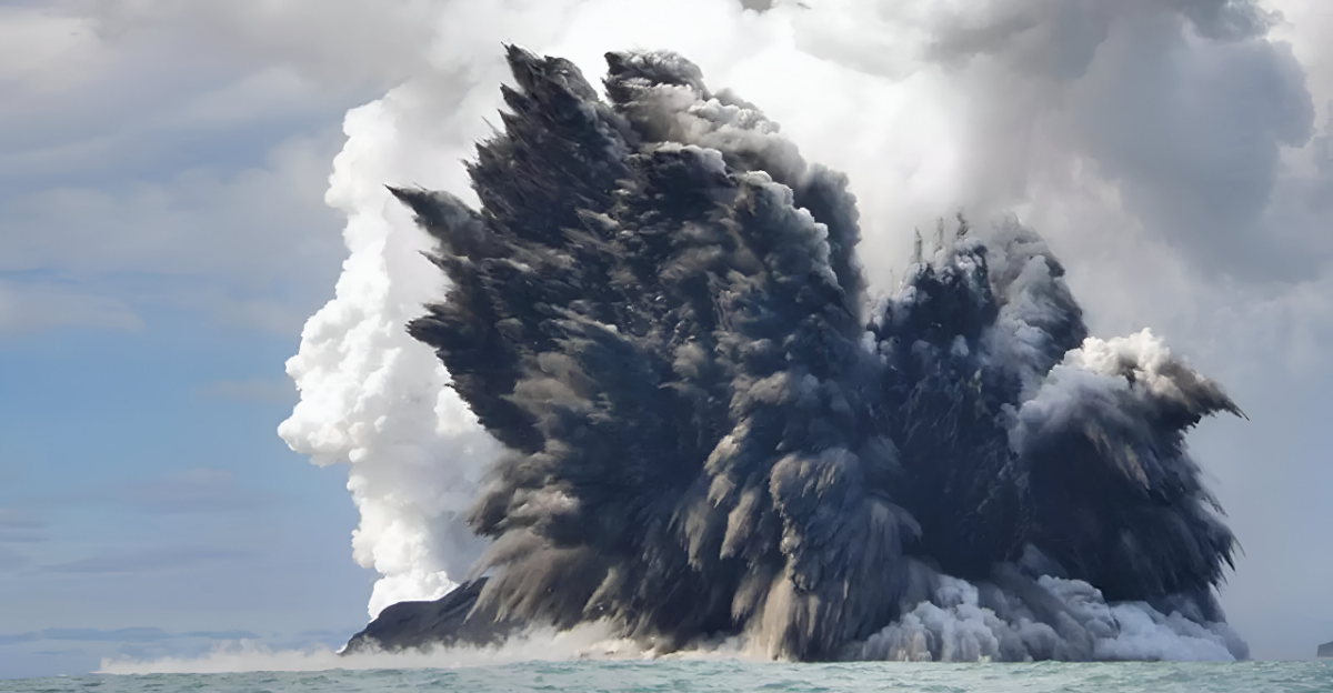
Rainier’s potential impact becomes clearer when compared with another volcano currently attracting scientific interest: Axial Seamount, located about 300 miles off the Pacific Northwest coast and nearly a mile beneath the ocean surface. Like Rainier, Axial has recently produced intense seismic activity, recording approximately 10,000 earthquakes in a single day as magma moved beneath the seafloor. However, Axial’s eruptions are typically gentle underwater lava flows that reshape the ocean floor without affecting coastal communities or shipping routes. The USGS notes that Axial poses no direct threat to people or marine transport.
The contrast between the two volcanoes lies less in their internal processes than in their surroundings. Rainier rises at the edge of one of the United States’ fastest-growing metropolitan regions, with major transportation routes, suburbs, and industrial zones extending into valleys that could carry lahars. Axial, by comparison, sits in deep ocean far from population centers, connected mainly to an array of scientific instruments. One is a landscape hazard intertwined with everyday life; the other is a natural laboratory that fascinates researchers but requires no evacuation planning.
For communities within Rainier’s reach, July’s swarm came and went without visible changes on the mountain’s slopes. Daily life resumed, even as officials and scientists continued to watch the instruments and refine their planning. The long history of the volcano suggests that it will erupt again, but not on a schedule that can be predicted precisely years in advance. The stakes are clear: when that transition from quiet to active finally begins, residents in lahar paths will have only minutes to climb to safety. In the meantime, drills, education, and monitoring offer the best tools to narrow the gap between warning and response, turning a future moment of crisis into one that more people can survive.
Sources
US Geological Survey – Axial Seamount observatory and hazard summaries
NOAA / PMEL – Recent volcanic history and seafloor monitoring data for Axial Seamount
Ocean Observatories Initiative – Cabled Axial Seamount Array live instrumentation and inflation records
US Geological Survey – Mount Rainier volcanic hazards and lahar guidance
Pacific Northwest Seismic Network – Mount Rainier July 2025 earthquake swarm analysis